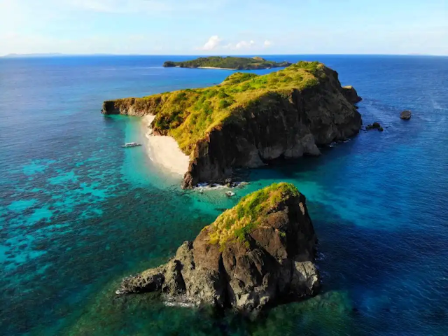
 Caramoan is bounded on the north by the town of Garchitorena and the Philippine Sea of the Pacific Ocean; on the north-east by the island province of Catanduanes; on the south by Lagonoy Gulf; on the east by the Maqueda Channel and on the west by the municipality of Presentacion.
The municipality covers approximately 277.41 square kilometres (107.11 sq mi) with approximately 71 kilometres (44 mi) of irregular coastline surrounded by the vast ocean, bay, seas and swamps. It is approximately 500 kilometres (310 mi) from Metro Manila; 95 kilometres (59 mi) from the municipality of Pili, where the seat of the provincial government and the Naga Domestic Airport are located; and 110 kilometres (68 mi) east from Naga City, the heart of Bicol.
The 10 principal islands of the group are:
Bag-ing, Cagbanilad, Catanhawan, Cotivas, Lahos, Lahuy, Matukad, Minalahos, Pitogo, Sabitang-Laya.
Tourist destinations include the Caramoan National Park, the Centro, and Gota Beach, where activities include diving, swimming, snorkeling and spelunking.
How to get to Caramoan Islands
Land by bus or car from Manila. it will take between 8-12 hours to reach Naga City. Then another 1.5 hour drive to Sabang Port followed by a 1.5-2 hour by boat ride to Caramoan about 11-15.5 hours
